Tarifa - Between 2 Seas and one Step from Africa
- Catarina Araújo

- Sep 2, 2022
- 9 min read
Updated: May 8, 2025
After a break, we're back to publishing on this blog. The last article was about Gibraltar but, as we didn't include any information about Tarifa, we thought it deserved another post. We definitely advise anyone visiting Gibraltar to also make a stop in Tarifa. In this post we will give you lots of reasons to visit and stay in this city, as well as many suggestions on how to get busy there.
We hope you enjoy our tips!
Tarifa
In Puerta de Jerez, one of the most used entrances to the Historic Center of Tarifa, you can read, in Spanish, a text that commemorates the capture of the city by the Christians:
“Very Noble and Very Loyal and Heroic City of Tarifa
Won to the Moors reigning Sancho IV the Brave
On September 21, 1292”

The name Tarifa comes from the commander Tarif Ibn Malik who, under the orders of Tarik ibn Ziyad, the Berber, came on a reconnaissance mission to the territory of the south coast of the Iberian Peninsula, disembarking in this place, to prepare the subsequent invasion.
As this area had no military protection, Tarif was successful in this mission, and later, the Moors, led by Tarik Ibn Ziyad, invaded the territory defeating and expelling the Visigoths. With the Muslim conquest of the Iberian Peninsula, a medina was founded in the current location of the city of Tarifa.


Durante o Império Romano, também existiu uma cidade muito próspera nesta zona, a antiga cidade de Baelo Claudia. As principais atividades económicas eram a salga do peixe, a produção do molho garum e o comércio com o norte de África. A sua origem remonta ao final do séc. II a. C.
Tarifa's location has always been very strategic, both commercially and militarily, due to its proximity to Africa (14 km). Punta de Tarifa separates the Atlantic Ocean and the Mediterranean Sea, more specifically the Alboran Sea, located between the Iberian Peninsula and North Africa and bounded by the Arc of Gibraltar.

Las Palomas Island / Punta de Tarifa
As we said, the cape of Punta de Tarifa serves as a division between the waters of the Atlantic Ocean and the Mediterranean Sea.
Las Palomas Island (Island of the Doves), is now connected to land by a road, making this the southernmost point of the Iberian Peninsula. The road connecting the city to the island was built in 1808.
At its southernmost point, Punta Marroquina (Moroccan Point), a lighthouse was built, close to where the ruins of a Phoenician temple were found.
In the 19th century, at the time of the French invasions, a fort was built on the island to defend the territory.
Despite having been a sacred place for the Phoenicians, where you can see the point where the Atlantic and the Mediterranean converge, the island of Las Palomas has been property of the Ministry of Defense since the 20th century, not being accessible to the citizens of Tarifa.
Nowadays it is still not possible to enter the island, as there is a Civil Guard post on site, which receives immigrants who arrive on this coast in small boats. However, its surrounding waters belong to the natural park of the Strait of Gibraltar and are protected due to their high ecological value.
As it is a rocky island, it is the ideal place to practice snorkeling and diving. Tarifa diving schools usually do their diving baptisms here. It is also possible to book a kayak tour to explore the island.
On the Atlantic side we have the extensive Playa de los Lances and on the other, the smaller Playa Chica. On the side of the island, there is another small beach - Playa de la Isla de Tarifa.


Santa Catalina Castle
The name of this building is a tribute to Saint Catherine of Siena. On the hill of Santa Catalina, where the castle was built, next to Playa Chica and Isla de las Palomas, there was a small chapel, which was converted into a gunpowder store in 1770.
The current castle, in neo-gothic style, was built in 1928 by the Ministry of the Navy, and has had several purposes, such as border control and a weather station.

What to do in Tarifa?
Sports
The Levante and Poniente winds are constant in this city, known as the "city of the wind". For this reason it is so sought after by kitesurfers and windsurfers. It was even considered the European capital of these sports, hosting important championships and competitions.


Beaches
Tarifa has a total of 38 km of beach and it is an advantage to be able to choose between the Mediterranean Sea and the Atlantic Ocean, with significant differences in terms of temperature, color and type of sand. In the Atlantic part we find beaches of fine sand with several capes, such as Punta Camarinal and Punta Paloma. Here are the beaches of Atlanterra, Los Alemanes, El Cañuelo, Bolonia, Valdevaqueros and Los Lances.
Bolonia Beach is very popular mainly for its natural pools. It is considered one of the best beaches in Spain, as it is a natural and well-preserved beach. On the west side is the big dune of Bolonia. With 30 m high, it is considered a natural monument. A fun activity is climbing to the top and rolling down!
On the Eastern Coast, towards the bay of Algeciras, the cliffs rise abruptly above sea level.


Playa de los Lances and Playa de la Isla de Tarifa
Archaeological Set of Baelo Claudia
This ancient Roman city is located in the cove of Bolonia and can be visited. The admission is free for EU citizens and there are organized guided tours on Wednesdays, but reservations are required.
Baelo Claudia belongs to the Rota Betico Romana, a Tourist-Cultural Route in the valley of the ancient river Betis (Latin name for the current river Guadalquivir, in southern Spain). This route crosses several municipalities of the former Roman province Hispania Baética, including Cadiz.
The city is in an excellent state of conservation, since it was buried, and has one of the best Roman urbanisms in the world, with elements typical of a Roman city such as the senate buildings, palace of justice, temples, theater, shops, market and spa. It was declared a National Historic Monument.
In the 3rd century AD an earthquake followed by a great tidal wave destroyed most of the buildings. After several looting by pirates, in the 7th century AD, the city was abandoned by its population.
There is also a museum, a specialized library and a conference room on site. The Roman theater is located inside the city of Baelo Claudia. It features a diverse program of shows and a festival in August, which attracts many visitors to the Roman amphitheater.
Get lost in the narrow streets of the Historic Center
The Historic Center of Tarifa was declared a Good of Cultural Interest in 2003. We suggest that you walk through its streets with a camera to record some interesting notes of this city.
It was the Muslims who first built the walls that surround the Historic Center. The Medina, from the Islamic occupation period, was later expanded with the Christian conquest.
The Muslim presence in the Iberian Peninsula lasted seven centuries and is very present in the city, in its urban physiognomy, with narrow streets, pointed arches and houses with interior "patios". These inner courtyards are an element of Muslim culture that has persisted through generations. It is the place par excellence for family and social interaction. Its origin comes from the time when these people set up tents in circles with a central space during their travels.
There were 4 doors (portas) to enter the old medina:
Porta de Almedina, to the west - remains intact but integrated into a building;
Porta de Jerez, to the north - is the most used from the period of the Christian conquest and expansion of the Medina;
Porta del Mar to the south - no longer exists;
Porta del Retiro, to the east - no longer exists.

Take the opportunity to visit the Municipal Market and buy local products!
Whale watching
Tarifa is part of the Parque Natural del Estrecho, which covers land and sea. The Strait of Gibraltar has been a UNESCO Intercontinental Biosphere Reserve since 2006.
Whales and dolphins can be spotted in these transparent waters, where the Atlantic meets the Mediterranean. Seven different species of cetaceans can be observed: the short-beaked common dolphin, the striped dolphin, the roa dolphin, the long-finned pilot whale, the orca, the sperm whale and the common rorqual. The first four are resident and the last three are migratory species.
Boat trips take place all year round, except in December.
The best time to spot orcas is in early summer, when they follow the tuna migration to the Mediterranean Sea.
Birdwatching
The Strait of Gibraltar is the ex-libris of migration, as it is the easiest area to cross the Mediterranean Sea (only 14 km).
Twice a year the strait becomes an air corridor between the African and European continents for tens of thousands of birds. It is an unparalleled spectacle, due to the large number of individuals that it is possible to observe on a clear day, and the possibility of seeing some rare species. At the end of the day, you might get a pain in your neck from looking up so much!
Tarifa has several observatories:
El Alfarrobo
Cazalla
Observatório del Estrecho, where you can also visit the exhibition “Migración e Cambio Global” ("Migration and Global Change"), or sign up for environmental education activities.
Gastronomy
In the Historic Center of Tarifa there are many restaurants where you can discover the local cuisine. The best known are Los Melli, la Garrocha and Bar el Francês. For vegetarians there is a restaurant with delicious homemade food - La Chilimosa.

Hiking
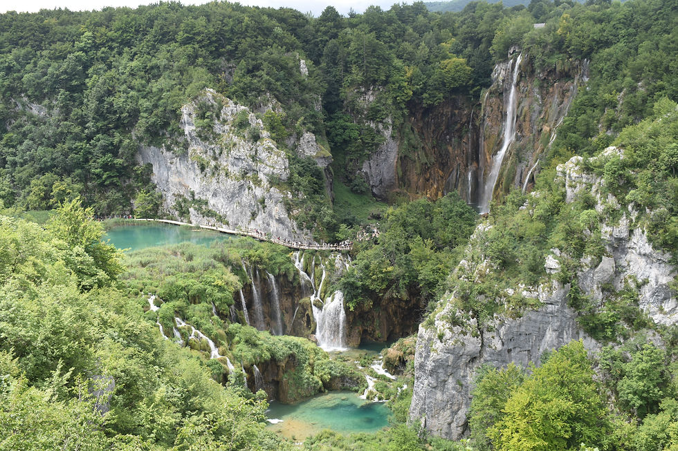
Approximately 60% of Tarifa's territory benefits from some form of official protection. Most of the extension is occupied by the Los Alcornocales Natural Park. This is one of the largest natural parks in Spain, divided between the provinces of Cadiz and Malaga, stretching from the coastal area of Tarifa to the mountains in the interior.
Los Alcornocales Natural Park
This park is home to the largest patch of cork oaks on the Iberian Peninsula, hence its name: Alcornocales mean cork oak forests.
The mountains form a barrier to the coastal winds and retain moisture in the forests, favoring the appearance of several species of mushrooms.
With many karst reliefs, such as caves, in this mountains we can find several colonies of bats. The proximity to the Strait of Gibraltar favors the presence of many birds, including the vulture or griffon vulture.
You can take many trails in the park, such as the Valdeinfierno and Ruta de los Molinos.
On the border with Algeciras there are several riparian galleries of high ecological value. The so-called “canutos” are forests found in the valleys of some mountains in southern Spain, with plant species from the tertiary period. The peculiar climate of high humidity provided by the proximity of the sea and the mountains, allowed the preservation of several species of the laurel forest. In this region existed the last European tropical forests. The winds coming from the Strait of Gibraltar, when they ascend to these mountains, form “bosques de niebla” (“fog woods”), similar to what happens on some islands such as the Canaries and the Azores. They are humid subtropical or tropical mountain forests formed by a high density of trees, a lot of fog, precipitation and high temperatures. They are the last stronghold of the forests that occupied the European continent, but they are very vulnerable to climate change.
There are several riverside routes that can be taken in this area. In the Kingdom of Algeciras, we find the Route of the Rio de La Miel. It is a small route, which can be done easily with children. The route is linear, with about 5 km (round trip), along the Ribeira de la Miel. The sound of the water accompanies us along this route, as we enter the “canute.” The medieval bridge evokes legends of bandits and robbers and the Mill of Escalona is one of the few that is still in operation.
The route ends in a magnificent waterfall with a well of blue waters, but bathing is not allowed in this area.


Rio de la Miel path
Del Estrecho Natural Park
Del Estrecho Natural Park is located in Tarifa and Algeciras, protecting the land and coastal area of the Strait of Gibraltar.
The 16 km Colada de la Costa route starts in Tarifa and ends at the Huerta Grande Visitor Centre, located between Del Estrecho and Los Alcornocales parks. It crosses several headlands, with exceptional views of Africa. This route links the Sendero Cerro del Tambor, which gives access to a viewpoint with majestic views of the Strait of Gibraltar. From here it is also common to see cetaceans.
In Tarifa begins the Great Route - the GR7 - which ends in Andorra. This route is still part of a Great European Route, the E-4, with 10.450 km, from Tarifa to Cyprus. This route crosses Spain, France, Switzerland, Germany, Austria, Hungary, Romania, Bulgaria and Greece.
Rock Climbing
In the Sierra de San Bartolo, in the Bologna area, there are around 250 climbing routes, with different levels. Despite being a windy zone, some of the compact limestone and sandstone walls are sheltered from strong winds.
If you like sport climbing, you can purchase the "Gilbraltar Climbing Field Guide" in Tarifa, or contact one of the local companies that offer climbing courses.
One step away from Africa
From Tarifa we can see the city of Tangier, in the North of Morocco. From here it is possible to take a ferry to Morocco, which takes 35 minutes. You can also book a guided tour of the cities of Tangier, Ceuta or Tétouan.
Book Accommodation in Tarifa
There are several categories of accommodation in Tarifa, such as hotels, apartments, guest houses and country houses.
See accommodations in Tarifa
Affiliate link notice
This article contains some affiliate partner links. By using these links you are supporting the creation of this free content. Thanks!


Comments